Layering and Combining 3D Material Models
LayerGeo
The LayerGeo module, together with the ProcessGeo module, is a tool for modifying structures modelled from imported scans or generated directly in GeoDict with the modules for Digital Material Design.
Using LayerGeo, two structure models can be combined in different ways for further analysis with the modules for Digital Material Analysis.
Examples of Applications
- Modeling of
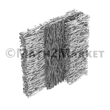
- filter media consisting of two- or more layers
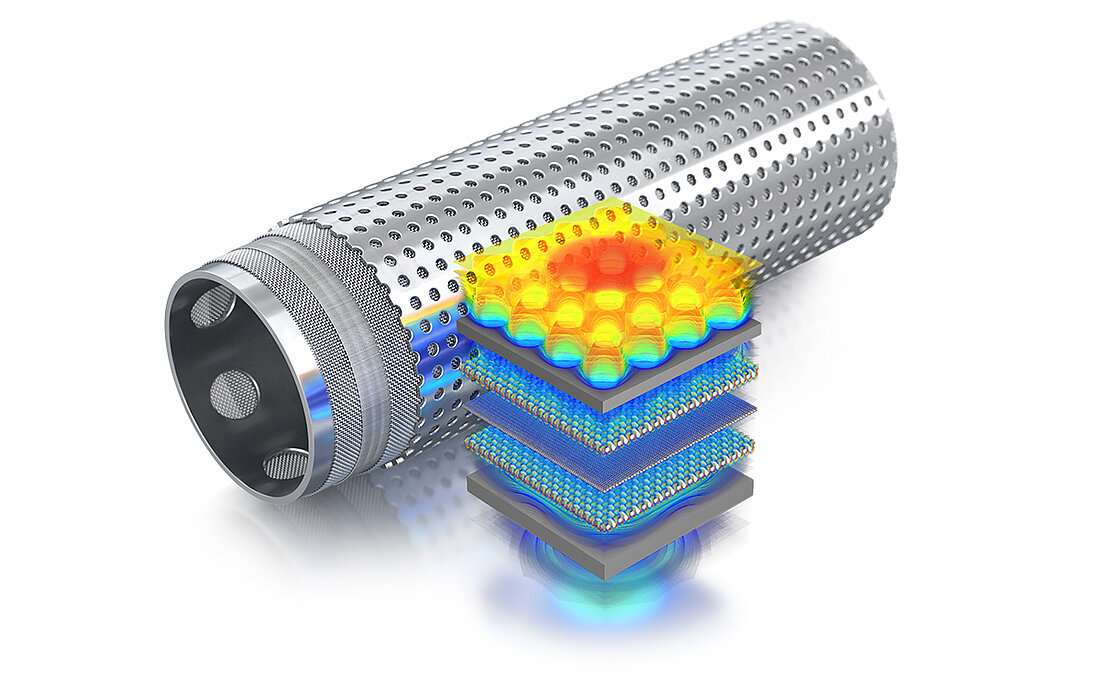
- multilayer sand control screens
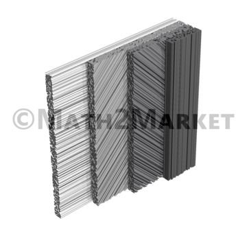
- laminates consisting of layers of carbon fibers with diverse orientations
- sandwich structures in composite materials
- Combination of cathode and anode structure models with a separating layer to model a battery.
- Removal of overlaps resulting from combining scans of a sample that is too large and has to be scanned in sections, e.g. during filter cake analysis.
LayerGeo Features
If the dimensions of the structures are sufficiently matching, LayerGeo can perform three operations on two structure models imported using the ImportGeo-VOL module (from CT-, µCT, or FIB/SEM-images) or generated using one of the modules for Digital Material Design:
- Attach a structure model to the other at one of the cartesian planes
- Add a structure into another, such that both structures are positioned in the same domain and overlap each other. Also possible is to add two structure models with an offset, such that they fully or partially overlap each other
- Subtract one structure from the other, to obtain a “difference-structure”
These material properties (e.g. fluid flows, filtration processes, thermal conductivity, ... ) can then be computed using appropriate modules of Simulation & Prediction.
Structures that initially do not match, can be modified with ProcessGeo and combined or layered in LayerGeo, before running computations with a GeoDict Digital Material Analysis module.
- LayerGeo is a basic module belonging to the basic functionality of GeoDict and is therefore part of the GeoDict Base License!
- The ImportGeo-Vol module is needed to import and segment µCT images and create the structure models for analysis.
- ExportGeo-CAD: Export of 3D structures modeled with LayerGeo as surface triangulation (*.slt) for CAD programs
- ExportGeo-Abaqus und ExportGeo-Fluent: Export of 3D structures modeled with LayerGeo as simulations with Fluent / Abaqus


